Showing posts with label Cooke County. Show all posts

Sunday, July 20, 2014

Dexter (Cooke County) - April 2012 photos

I haven't been on a ghost town expedition for quite some time due to financial and personal constraints, and I miss being out on the road, exploring abandoned towns throughout Texas and bringing you pictures of what's left of these forgotten communities. Still, it turns out I still have a bunch of photos I haven't shared with you yet, and one set of photos is of the Cooke County town of Dexter, reduced to a mere shell of its former self. I don't know why, but I've been sitting on these photos for over two years - guess it's time I shared the history of Dexter with you, right?

Dexter April 2012 #1 photo DSC02894_zps7cc291d4.jpg
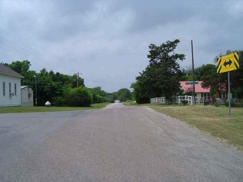
County Road 106, winding through what used to be the heart of Dexter

Take a good look at the above image of Dexter's now-quiet main street. Over a hundred years ago, what Gainesville is today, Dexter once aspired to be - the most important stop on the road north before crossing the Red River into Oklahoma. The Captured by Jess blog features a picture of Dexter in its heyday, and I strongly encourage you to visit Jessica's blog for that photo as well as other great shots of what's left of this once-ambitious town. If you wish to visit Dexter yourself, it's approximately 10 miles north of Callisburg on County Road 678 in extreme northeastern Cooke County; when you reach the intersection with County Road 106 and see the church on your left, you have arrived.
Dexter April 2012 #2 photo DSC02891_zps294f9644.jpg
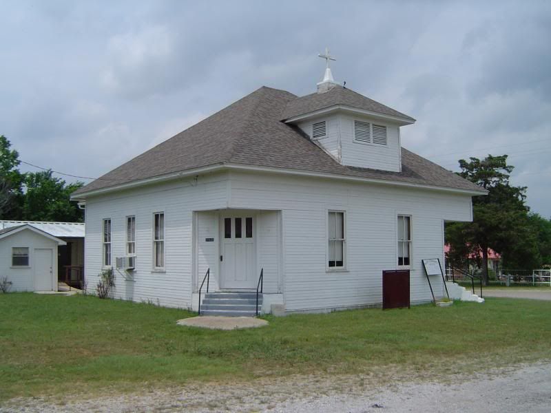
Dexter Community Church, still in use today
Dexter April 2012 #3 photo DSC02868_zps0263ef7c.jpg
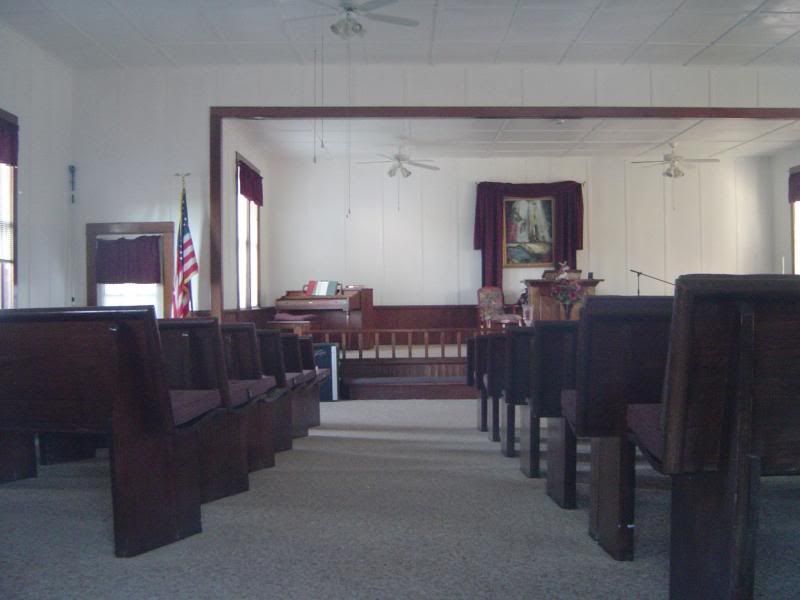
A peek inside Dexter Community Church
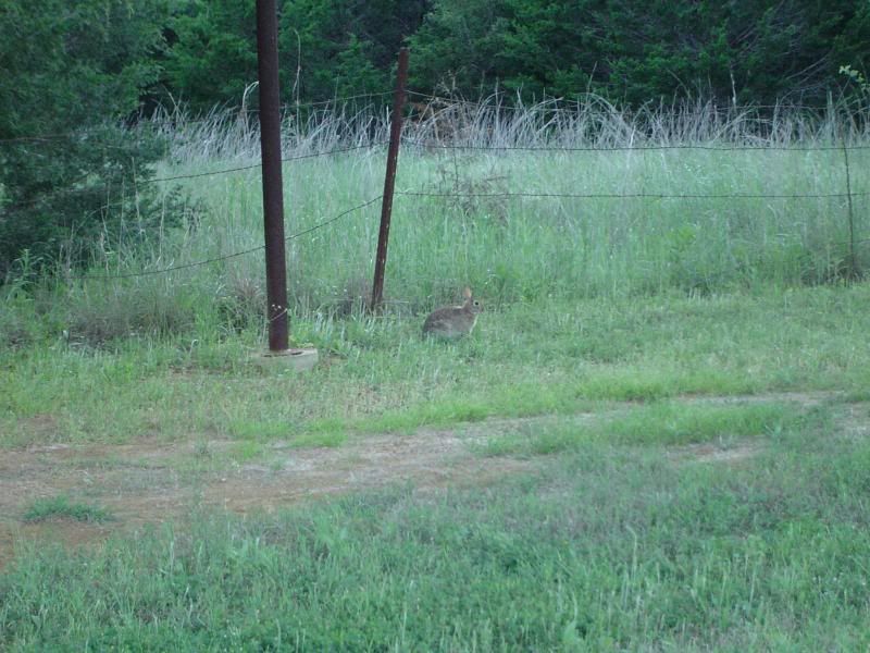
Dexter April 2012 #4 photo DSC02872_zps08c49f43.jpg
Look closely to see my little furry friend romping the church grounds at Dexter

Dexter's life as a bustling border town was short, but marked by aggressive growth. Founded around 1870 by Dick Collum, S.E. Collum, Jesse Morris, and Bill Munday, it was originally located about three miles east of its present location, next to a natural spring that was certain to draw travellers. The site was originally called Sugar Hill, but Jesse Morris is credited with renaming the town Dexter after a once-famous racehorse.

Jason Schall inaugurated Dexter's post office on March 31, 1873, and the town quickly blossomed afterwards, reaching a population of 300 in the early 1880s. By that time, Dexter was home to 37 businesses, including its own district school, four blacksmith shops, four physicians, three hotels, two steam gristmills and cotton gins, a bank, a barber shop, and at least one church. The rapid growth of Dexter did not go unnoticed by Gainesville, which had become a supply point for cowboys headed north to Kansas with herds of cattle in tow.
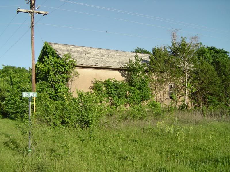
 photo DSC02857_zps729b4e4e.jpg
Side view of Dexter's school auditorium
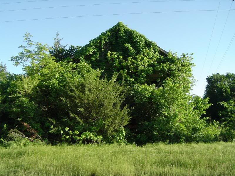
 photo DSC02860_zps478d694f.jpg
Front view of Dexter's school auditorium
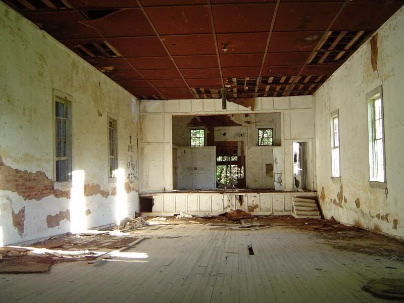
 photo DSC02861_zps89ba2ec7.jpg
A peek inside Dexter's school auditorium

Every town in Cooke County anticipated the coming of the railroad, hoping to be the first town in the county to welcome trains to its own depot. The townfolk of Dexter were apparently convinced that the Denison and Pacific Railway was going to lay tracks right through their town, but as luck would have it, the railway instead chose to build through the town of Woodbine, 20 miles south of Dexter. Stung but undaunted by the financial loss, Dexter held a vote on February 28, 1885 on incorporation; turnout was somewhat light, but the town incorporated on a 30-18 vote. It was nevertheless becoming obvious to Dexter's denizens that the town was declining, with many of its businesses moving north of the Red River to resettle in Ardmore, Oklahoma. Dexter was also beginning to attract a more unsavory lot who occasionally used the town as a hideout; a posse tracked down brothers James and Pink Lee of the Lee Gang to a hayfield near Dexter on September 7, 1885, where both brothers were killed in a gunfight.
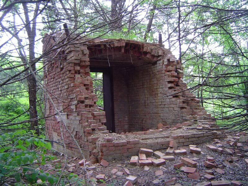
 photo DSC02883_zps92874c4e.jpg
Rear view of the abandoned bank vault at Dexter, now hidden from the road by dense foliage
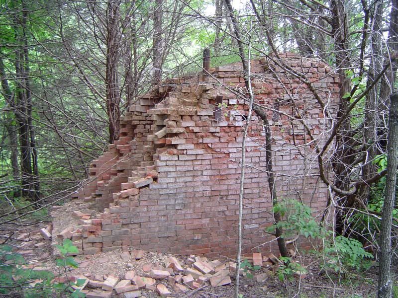
 photo DSC02881_zps943c8fd2.jpg
Side view of the Dexter bank vault

 photo DSC02888_zpse85f9afb.jpg
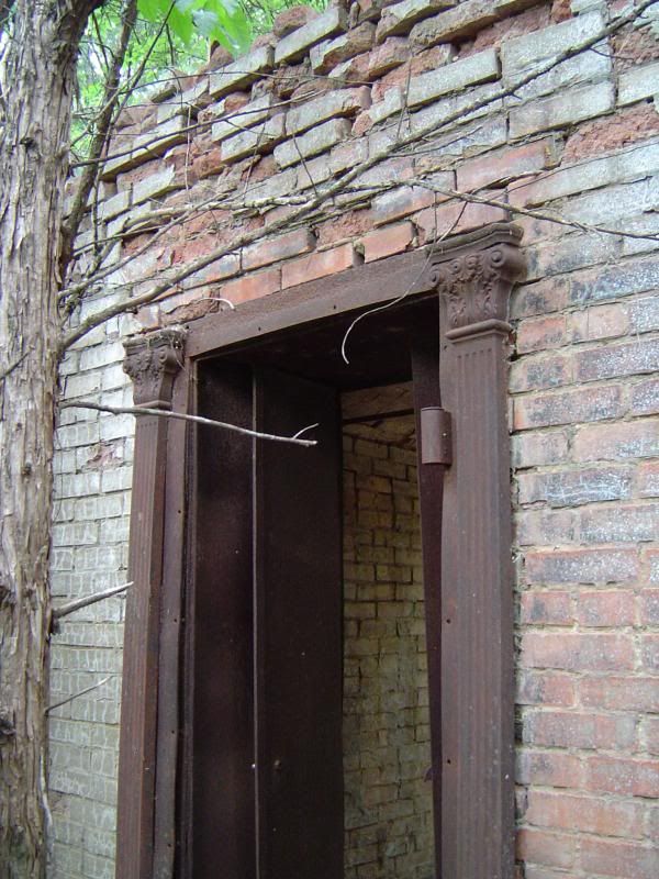
Detail of ironwork molding around front door to the Dexter bank vault
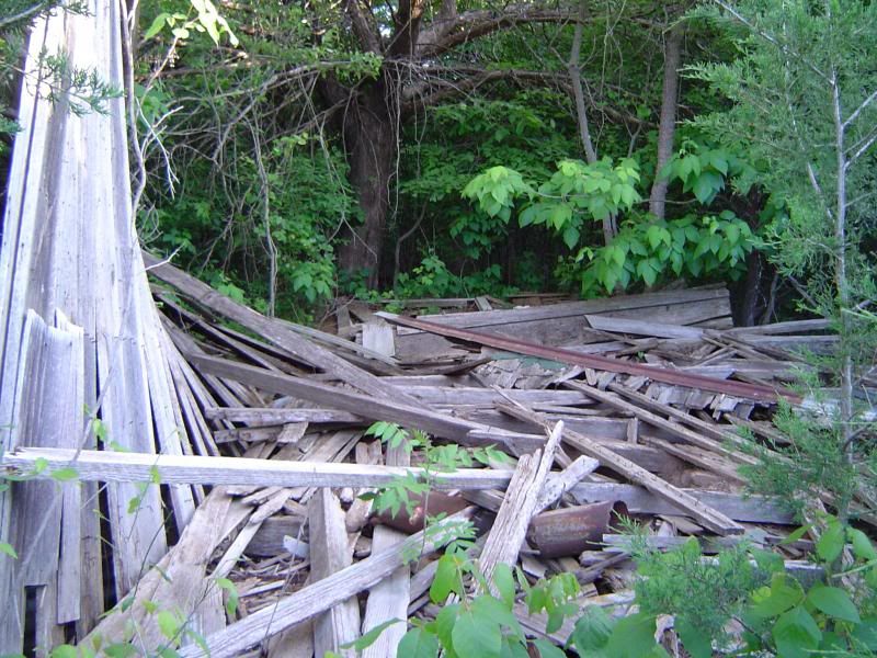
 photo DSC02864_zps0d0fc6fc.jpg
Remains of a wooden shack that reportedly housed the barber shop; said to have finally collapsed around 2000

The city government of Dexter managed to hold out until around 1900, and the post office was apparently discontinued sometime after 1925. The population continued to decline until 70 people were left at the townsite from the late 1960s until 1987, when the population began to plummet even further. The 2000 census reported only 18 people left at what used to be Cooke County's most ambitious town.
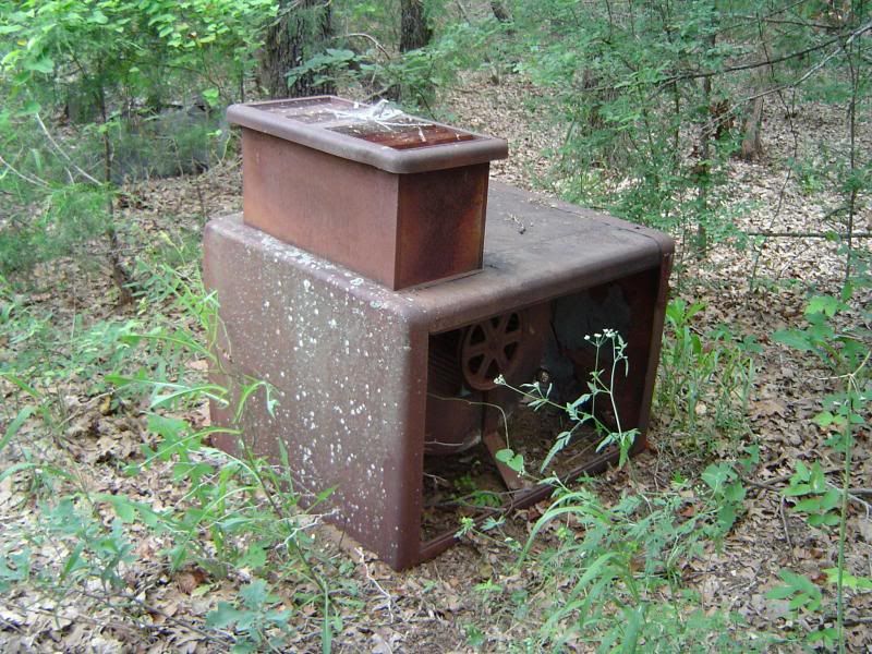
 photo DSC02890_zpsf8d3055a.jpg
Rusting machinery reposing in the vicinity of what used to be Dexter's general store
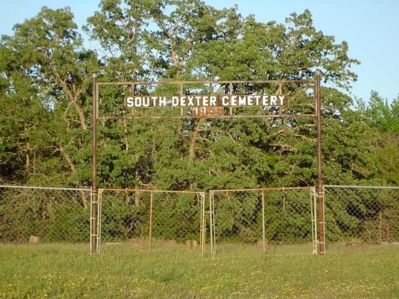
 photo DSC02873_zpsf70ba02f.jpg
Gate to South Dexter Cemetery - unlike many Texas ghost towns, Dexter has two cemeteries instead of just one
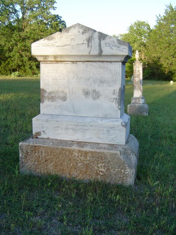
 photo DSC02877_zps5d220f38.jpg
Tombstone for W.L. Butt and his two wives, located in South Dexter Cemetery
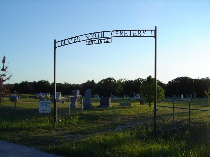
 photo DSC02878_zps5126a592.jpg
Gate to Dexter North Cemetery - or North Dexter Cemetery, depending on whether you believe the gate or the nearby sign
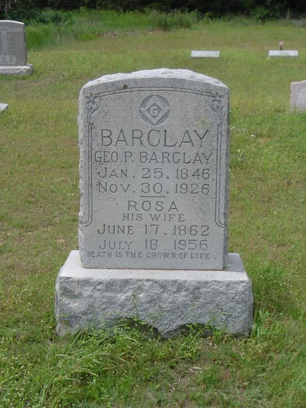
 photo DSC02900_zps65bcc839.jpg
Masonic gravestone for George P. Barclay and wife Rosa, located in Dexter North Cemetery

I hope you enjoyed this pictorial essay of Dexter. If you choose to visit this ghost town yourself, most of the roads are paved, but be advised that some of the roads are gravel and dirt that are prone to bumps and ditches and may be impassable after recent rainfall. Be safe, stay hydrated, and enjoy - and thank you for learning about the history of Dexter!

One more thing: Happy Birthday to my brother Steve! Love you, bro!
Sunday, April 29, 2012

This is how I roll...

I get up on Sunday morning, watch the weather reports to see if I'll have to deal with rain, and then I'm on the road before 10am, heading up towards the Red River, braving the occasional drizzle. I start driving through northeastern Cooke County, heading towards the ghost town of Dexter with the layout of the town ruins firmly embedded in my head. Once I show up at Dexter, I plow through the woods and brave all manner of insects and arachnids to find some ruins no longer visible from the road, and I feel like a kid in a candy store. After finding practically everything there is to find at Dexter, I head off to Gainesville for a late lunch/early supper that will constitute my one square meal of the day, and then it's back to Dallas County to put in a few hours of overtime. (Hey, I have to pay for the gas somehow...)

It's 11pm on Sunday night, and the rain has picked up again, and I'm typing this in my car. Why am I not home yet? Isn't there a Firefly marathon on Science right now? Mal Reynolds intrigues me, bless his grumpy, chaotic good heart. And is there anyone who doesn't have a little crush on Kaylee, the engineer? But I digress. And I'm tired. And I'll have to share the Dexter photos with you soon - just not tonight.

Saturday, October 1, 2011

Marysville (Cooke County) - September 2011 photos

The ghost town of Marysville, TX is not for the inexperienced or the faint of heart.

For starters, Marysville is one of the most isolated ghost towns in North Texas. Not a single paved road leads into or out of this Cooke County town - it's all gravel roads no matter how you approach the town. The most direct route to Marysville is to take Farm to Market Road 2739 north from US 82 (just east of Muenster) and follow it up for about 3.7 miles until you run out of pavement. At this point, FM 2739 turns into County Road 417, which winds and twists for around five rickety miles north through fields and over dry creeks (not recommended at night) until you finally reach the townsite. Don't look for any road signs; instead, look for a little white Baptist church on the east side of CR 417.

There are only 15 people (at most) living in Marysville, and it takes a special breed of Texan to live here. The nearest building that resembles a store is a 30-minute drive away, so you learn to live off the land, make do with what you have, and plan your drives into town for supplies carefully. If you're the type that is used to hopping in the car and driving to the nearest 7-Eleven because you're in the mood for a Slurpee, Marysville is definitely not for you. The locals are friendly enough, but also wary of outsiders, and one of them apparently doesn't see any harm in letting a pack of barking dogs surround any unannounced visitors whether on foot or in their vehicles. Even if you don't encounter either people or dogs during your sojourn in Marysville, it may not be that uncommon to hear in the distance the shouts of hunters, the baying of hounds, and the roar of shotguns. Consider this a friendly advisory.

So, folks - guess where I was one cool September evening? Here's some photos from the trip to Marysville in Cooke County:

Photobucket
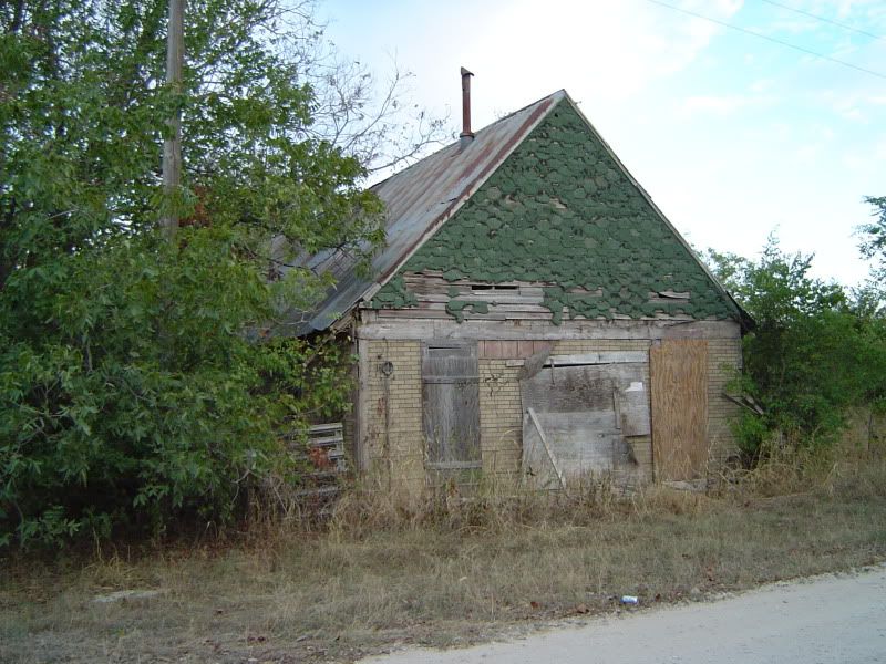
An abandoned store in Marysville off of CR 417; the front porch collapsed within the last decade

Photobucket
Another abandoned store, boarded up and buried a little deeper in the woods

Photobucket
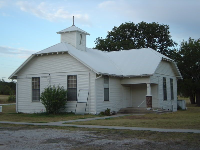
Marysville Baptist Church, where worship services have been held since 1872

Photobucket
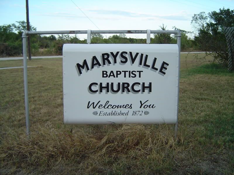
Detail of the Marysville Baptist Church sign

Photobucket
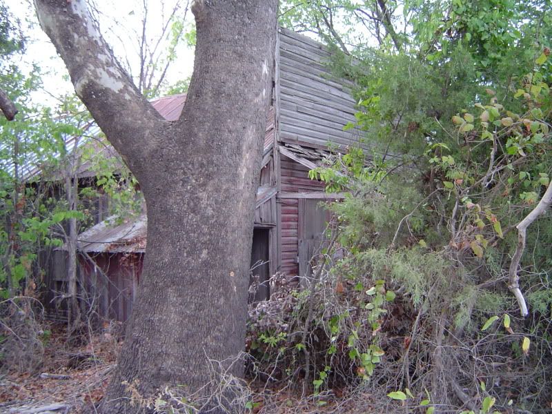
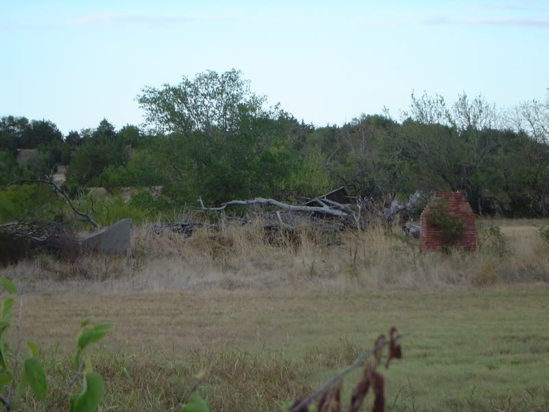
Ruins of an old Marysville house

Photobucket
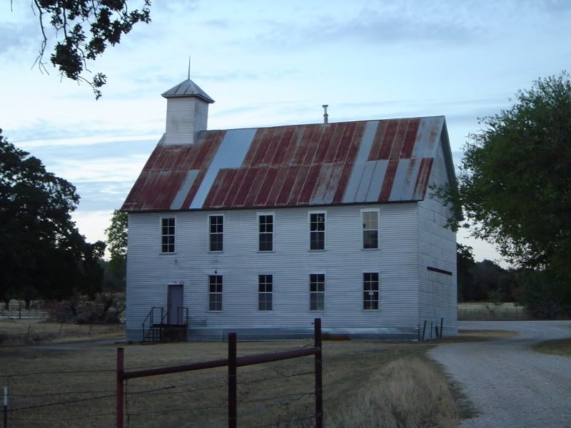
A disused building that served as a church (and possibly as a Masonic lodge)

Photobucket
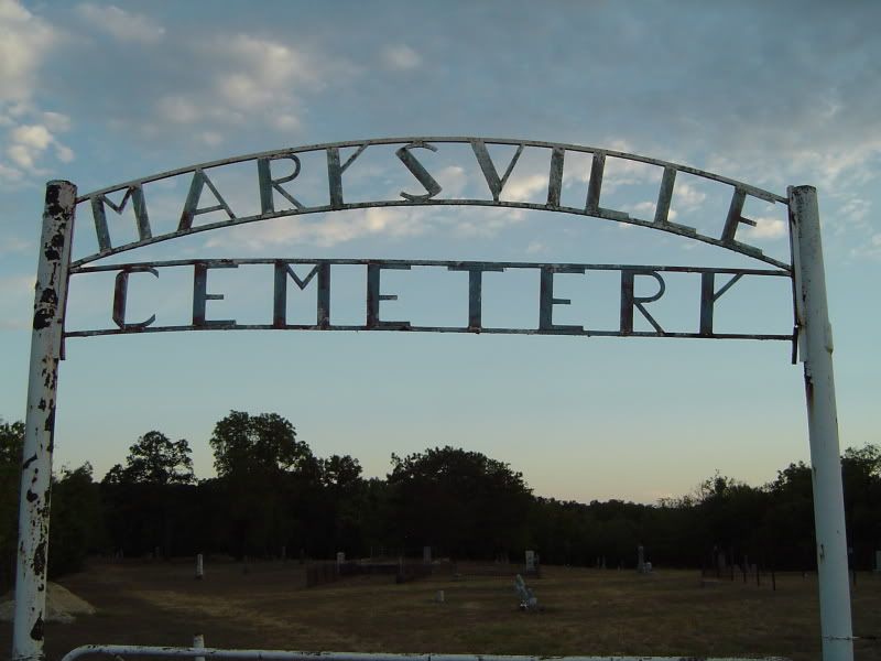
Front gate to Marysville Cemetery, the larger of two cemeteries at the townsite

Photobucket
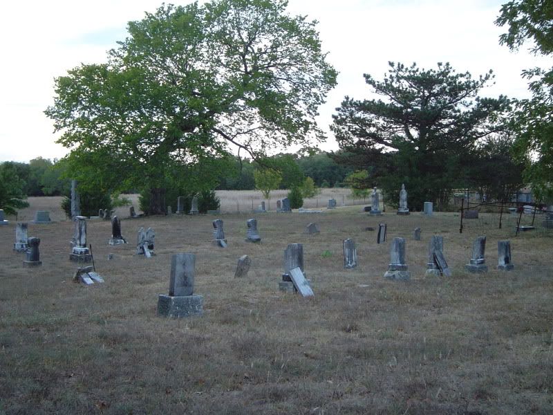
A sample of the numerous gravesites in Marysville Cemetery, some of them over 150 years old

Photobucket
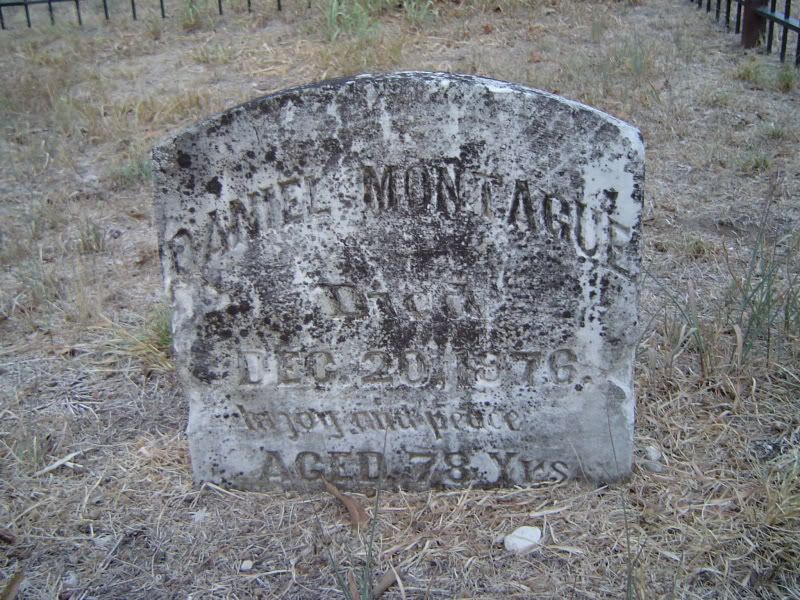
Tombstone of Marysville's most famous resident - Daniel Montague; surveyor, Texas state senator, and namesake of neighboring Montague County

By 1900, according to the Texas State Historical Association, Marysville had 250 residents, a drugstore, a livery stable, a district school, a post office, two churches, two grocery stores, two blacksmith shops, and two mercantile stores. The town served the needs of small farms in central Cooke County, and even after the Great Depression hit, Marysville continued on with a somewhat smaller population until December 1941, when Japanese warplanes attacked Pearl Harbor and America found itself in the middle of World War II.

A week or two after Pearl Harbor, the War Department swooped into Cooke County and purchased some 59,000 acres north, east, and south of Marysville from the local farmers, turning the tract of land into Camp Howze, which served as an infantry training site and POW camp for captured German soldiers. Marysville was relatively isolated from the rest of Cooke County by Camp Howze, but the $20 million that Washington, DC pumped into the camp helped fuel the local economy until the end of the war. In 1946, Camp Howze was declared surplus and completely dismantled, the land once again available for the original farmers to come back - but they never did.

Without either the farms or a military camp to keep Marysville afloat, the town withered. First to go was the post office. By 1980, all of the businesses in Maryville were defunct, with only Marysville Baptist Church surviving. Even then, however, there were some 70 people living at the townsite, but the number plummeted drastically over the next 20 years. The handful that stayed put at Marysville are making do the best they know how, with their scattered homesteads, their gravel roads, and the pervading stillness that is occasionally broken by the baying of hounds and the roar of shotguns.